Streamlining Your Workflow with IMatch Categories: A Step-by-Step Guide.
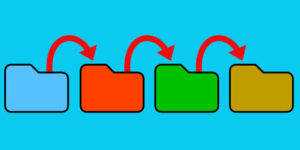
Are you looking for a way to track your files along your workflow using IMatch categories? In this article, we’ll show you how to setup a simple yet effective workflow using categories, assignment action, color-coding and favorites. Setting Up Workflow Categories To get started, switch to the Category View and create a new top-level category […]
Streamlining Your Workflow with IMatch Categories: A Step-by-Step Guide. Read More »